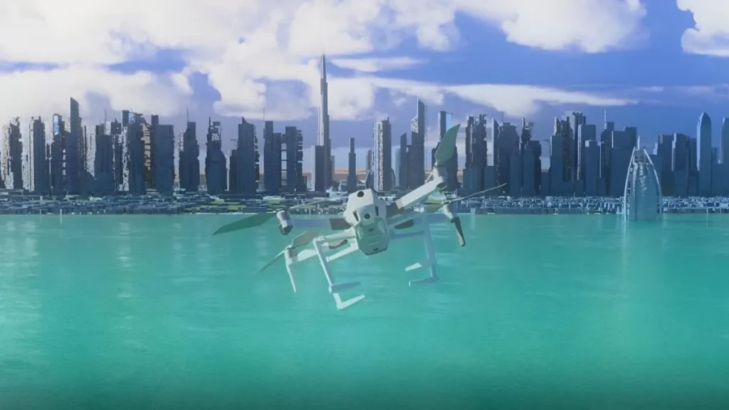
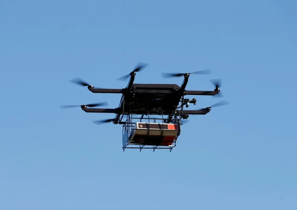
Dubai Municipality has announced the completion of the second phase of the ambitious “Dubai Horizons” project, marking a significant advancement in integrating drone delivery systems into the city’s infrastructure.

Innovative 3D GIS Integration
The project incorporates 3D Geographic Information Systems (GIS) to manage low-altitude airspace within building regulations. This technology provides a three-dimensional mapping system that includes depth, allowing for precise urban planning. 3D GIS will be utilized to design vertical airport sites, essentially transforming traditional airport layouts into vertical configurations. Dubai will implement mini vertical airports and runways to support drone deliveries and other air-based services.

Strengthening Dubai’s Economy
Dawoud Al Hajri, Director General of Dubai Municipality, emphasized the project’s potential to bolster Dubai’s economy. By leveraging geospatial databases with 3D maps of the city’s landmarks and facilities, the “Dubai Horizons” project aims to create a robust infrastructure for drone operations. Al Hajri noted that the completion of this phase would greatly enhance Dubai’s capacity for drone and air delivery services, streamline navigation routes, and improve security and safety standards.
Impact on Air Delivery and Logistics
The shift to air delivery offers numerous benefits, including speed, uninterrupted travel, and avoidance of traffic congestion. However, companies involved in drone-based deliveries must address cybersecurity to protect sensitive customer information and locations.

Looking Ahead
As the “Dubai Horizons” project progresses, it promises to position Dubai as a leader in drone technology and logistics, attracting investment and setting new standards in air navigation and delivery efficiency.
